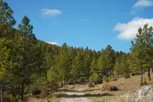
Powerline Trail
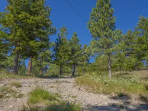
Possibly the most challenging trail on Mount Helena, Powerline is the shortest, steepest route from the Mount Helena Trailhead to the summit. Good hiking shoes

Possibly the most challenging trail on Mount Helena, Powerline is the shortest, steepest route from the Mount Helena Trailhead to the summit. Good hiking shoes
Starting at the end of Silverette Street, go on the other side of the fence and take Le Grande Cannon Trail for a tenth of
It is on Earth that the Road to Mars Trail lies, though its name may suggest otherwise. Acting as a border between northwest and north
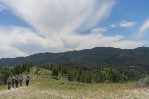
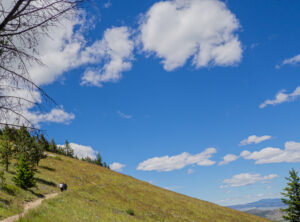
Climb to the Top of the World! Using T.R. Trail, Pinchot Trail, and Rodney Ridge Trail, in the same order whether you are starting from

Starting at the Old Shooting Range Trailhead, T.R. Trail will take you up and over Rodney Ridge and down to Waterline Trail. Going both through
Northwest Passage contours along the northwest side of Mount Helena. To access the trail, park at the Tubbs Trailhead and climb the Swaney Trail for
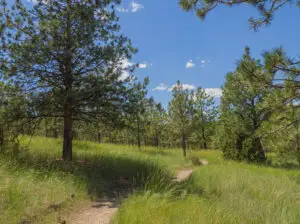
From Mt Helena Trailhead, enjoy views of woods and meadows while gradually ascending Mt. Helena. A little over halfway to the summit, stop by the
From Clarke Street or Mount Helena Trailhead, the Daisy Hill Trail traverses the Bitterroot Way up until the Prairie Trail. Taking Daisy Hill in its
Bitterroot Way is a small maze of trails starting from Mount Helena railhead and leading most notably to Clarke Street, Daisy Hill, and Mike Cormier
The Easy Rider Loop starts at the Beattie St. Trailhead. To access the loop, ascend the Prickly Pear Trail to Easy Rider. From there, travel