The Science of Restoration
Our partners at the Lewis and Clark County WQPD and the Lake Helena Watershed Group have added two new monitoring sites along our Sevenmile Creek restoration work.
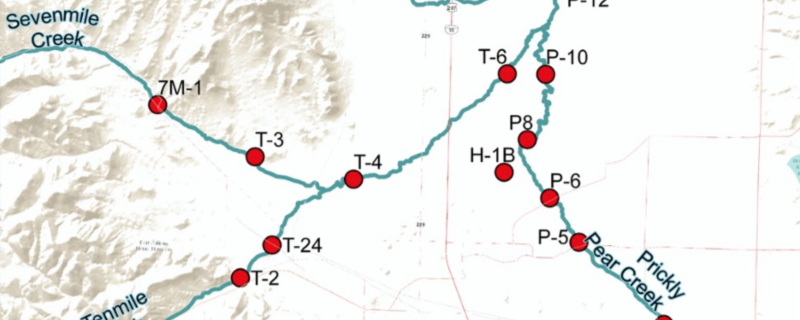
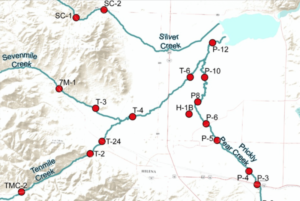 Dive into the science of restoration with us! Our partners at the Lewis and Clark County Water Quality Protection District (WQPD) and the Lake Helena Watershed Group have added two new monitoring sites along our Sevenmile Creek restoration work. The data is just beginning to trickle in with monthly updates, but in the next couple of years this information will give us a more vibrant picture of how the Sevenmile Restoration has improved fish, insect, and riparian habitat, and altered local hydrology. But while we wait for that, learn how this valuable information is gathered region-wide and what each index means for fish and habitat health, agriculture, and even flooding, by surfing the Watershed’s website and story maps.
The new sites are listed as points “7M-3” and “7M-4” on the map at Lake Helena Watershed website. Click on the points to see the up-to-date data and use the dropdown boxes to learn what each index means for fish health, water quality, pollution, and flows. To learn more about water science in the Helena Valley, play around on the Watershed’s interactive story maps found here.